| basic information |
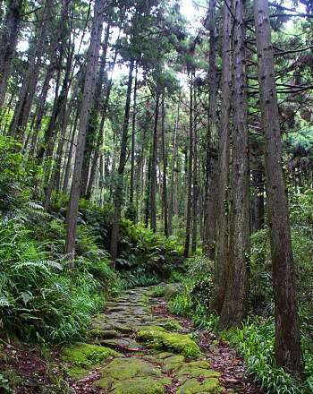
Kumano City is located in Mie Prefecture, about 20 kilometers from the Wakayama border. Though it shares its name with the greater Kumano region, with a population of only 20,000 it is by no means the principal center of activity. It is still of considerable interest to travelers for its trails, rock formations and shrine.
Kumano City is located along the former Iseji pilgrimage route, which connected the Kumano shrines with Ise. Only isolated sections of the route have been preserved to this date. Among them is the Matsumoto Pass trail in Kumano City. The preserved section of the trail is one kilometer long and reaches an elevation of about 100m when traversing the Matsumoto Pass.
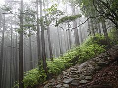 | 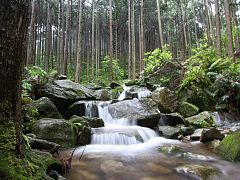 |
A further 30 kilometers north of Kumano City, in Owase City, the Magose Pass trail is considered the most picturesque hike along the Iseji by many. The majority of the trail leads through the forest, and hikers will reach an elevation of over 300m when crossing the Magose Pass. The preserved section stretches for over two kilometers.
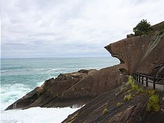
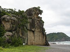
Like the other cities in the area, Kumano City is known for some of the unique rock formations on its coastline. The Onigajo Rocks were believed to be the dwellings of demons, while the Shishi Rock resembles a lion looking out to sea. Both rock formations take their names from their assumed attributes.
 |  |
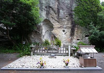
About a kilometer south of Kumano's city center stands Hana no Iwaya Shrine. According to legend, this ancient shrine is the location of the grave of Izanami, the deity who created the earth together with her husband Izanagi. The shrine is believed to be so old that its foundation even precedes the three Kumano shrines.
On the shrine grounds there is a massive, sacred rock that stands 45 meters high. Like the giant waterfall of Nachi Taisha, the rock is believed to have been revered by the pre-historic Japanese. In a unique festival, a giant rope is pulled from the shrine grounds to the nearby beach every year on February 2 and October 2.
No comments:
Post a Comment